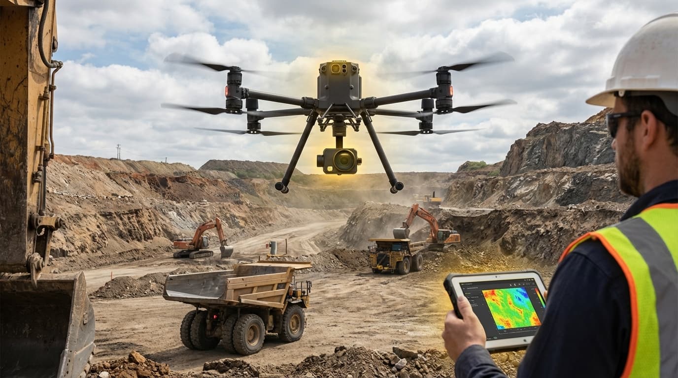
Hyperspectral Imaging Drones
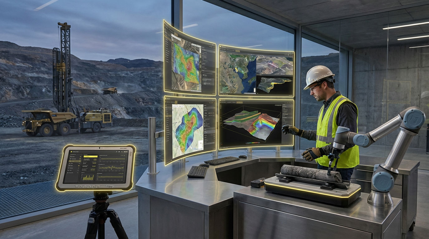
Hyperspectral imaging drones represent a convergence of advanced sensor technology and unmanned aerial systems, fundamentally transforming how mining companies and heavy industry operators assess geological formations and infrastructure integrity. Unlike conventional RGB cameras that capture visible light in three broad bands, hyperspectral sensors collect data across hundreds of narrow, contiguous spectral bands spanning visible, near-infrared, and shortwave infrared wavelengths. This granular spectral resolution enables the identification of unique spectral signatures associated with specific minerals, chemical compounds, and material conditions. When mounted on drone platforms, these sensors can rapidly survey large areas at resolutions far superior to satellite imagery while remaining more cost-effective and flexible than traditional ground-based surveys or manned aircraft operations. The technology works by analysing how different materials reflect and absorb electromagnetic radiation across the spectrum, creating detailed spectral profiles that serve as distinctive fingerprints for various substances and conditions.
The extractives sector faces persistent challenges in exploration efficiency, resource characterisation, and environmental compliance monitoring. Traditional geological surveying methods are labour-intensive, time-consuming, and often limited in spatial coverage, while satellite-based remote sensing frequently lacks the resolution needed for detailed mineral mapping. Hyperspectral imaging drones address these limitations by enabling rapid, high-resolution surveys that can identify alteration zones indicative of mineralisation, map ore body extent and grade variations, and detect subtle geochemical anomalies that might indicate valuable deposits. Beyond exploration, this technology proves invaluable for monitoring active mining operations, where it can identify acid mine drainage, track tailings pond stability, assess vegetation health around industrial sites, and detect hydrocarbon seepage or chemical leaks before they become environmental hazards. The ability to conduct frequent, repeatable surveys also supports compliance documentation and enables operators to demonstrate environmental stewardship to regulators and stakeholders.
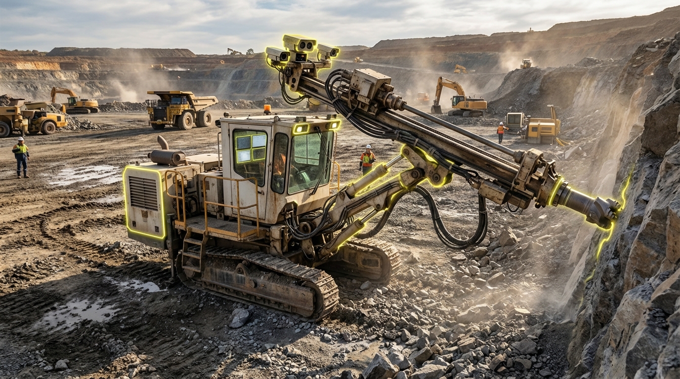
Mining companies and industrial operators are increasingly deploying hyperspectral drone systems for both greenfield exploration and brownfield optimisation projects. Early adopters report significant reductions in exploration timelines and drilling costs, as the technology helps prioritise high-potential areas for ground-truthing and reduces the number of speculative drill holes required. In operational contexts, regular hyperspectral surveys support predictive maintenance programs by identifying structural degradation in processing facilities, conveyor systems, and storage infrastructure before failures occur. The technology also finds application in quarrying operations, where it assists in identifying optimal blast zones and tracking material quality variations across extraction faces. As sensor miniaturisation continues and machine learning algorithms improve spectral analysis capabilities, the integration of hyperspectral imaging into routine industrial workflows is expected to accelerate, particularly as companies seek to optimise resource recovery rates and minimise environmental footprints in an era of increasing regulatory scrutiny and social license pressures.
Related Organizations

Designs and manufactures high-performance hyperspectral imaging systems for remote sensing and industrial machine vision.
A research institute dedicated to new technologies for the exploration and extraction of raw materials, with a strong focus on drone-based hyperspectral exploration.
A global leader in hyperspectral imaging instrumentation and systems, now part of Konica Minolta.

A leading brand of high-end hyperspectral cameras for field and airborne applications, known for scientific-grade precision in mineral mapping.

Manufactures hyperspectral imaging cameras and systems for laboratory, outdoor, and airborne applications.


Utilizes hyperspectral imaging and AI to detect crop stress and disease before it is visible to the human eye.

Develops 'drone-in-a-box' solutions for autonomous industrial and urban monitoring.

Provides industrial drone data software and hardware, focusing heavily on high-precision 3D mapping and analytics for the mining sector.

Manufactures VTOL (Vertical Take-Off and Landing) mapping drones for surveying.