Urban Dynamics Analytics
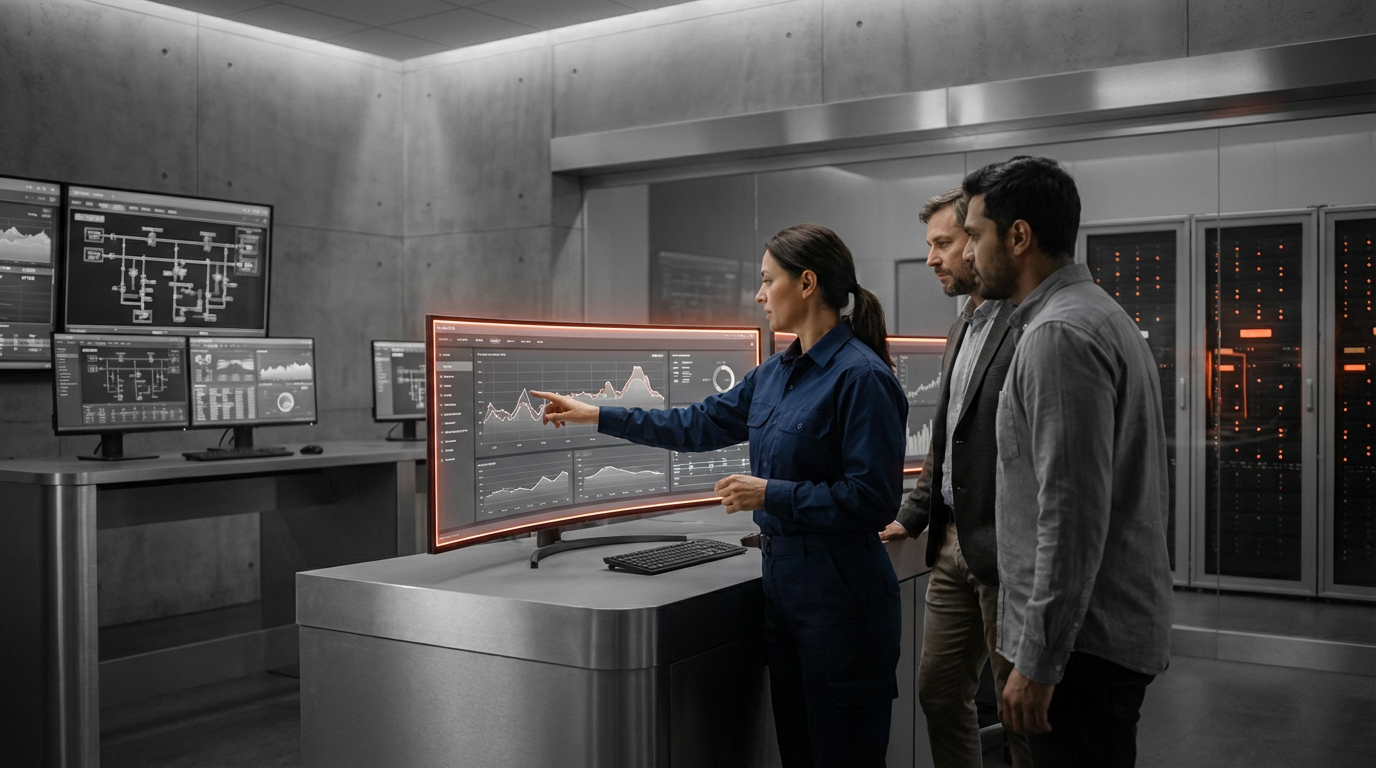
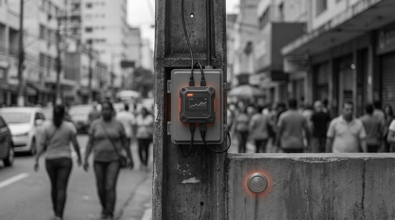
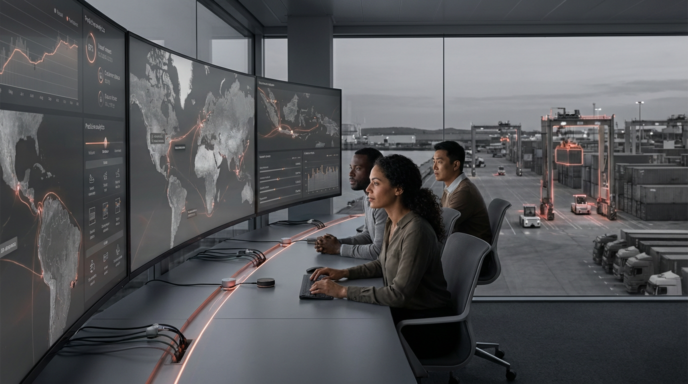
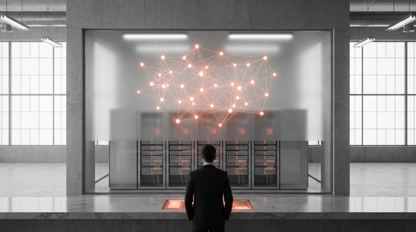
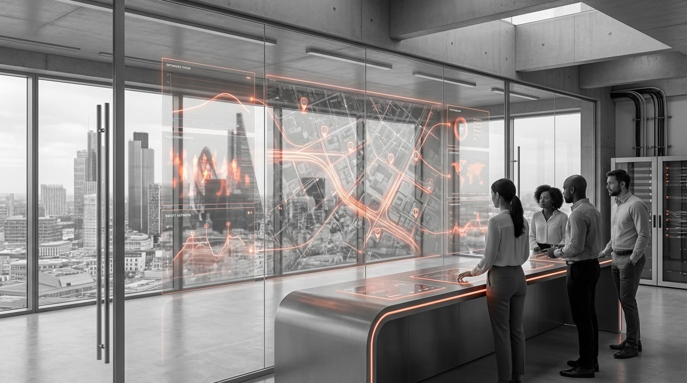
Urban dynamics analytics represents a sophisticated approach to city management that leverages interconnected sensor networks and advanced data processing to address the mounting challenges of modern urbanisation. At its core, this technology integrates diverse data streams from traffic cameras, environmental monitors, public transportation systems, emergency service networks, and infrastructure sensors into unified analytical platforms. These systems employ real-time data processing algorithms and machine learning models to identify patterns, detect anomalies, and generate actionable insights across multiple urban domains simultaneously. The technical foundation relies on edge computing capabilities that process data locally at sensor points, combined with cloud-based analytics that aggregate city-wide information to create comprehensive operational pictures. This distributed architecture enables both immediate local responses and strategic city-wide coordination, processing millions of data points continuously to maintain an accurate, current understanding of urban conditions.
The fundamental challenge this technology addresses is the fragmentation that has historically characterised urban management, where different city departments operated in isolation with limited data sharing or coordinated response capabilities. Traditional approaches to traffic management, emergency services, and infrastructure maintenance often worked at cross-purposes, creating inefficiencies that compounded as cities grew larger and more complex. Urban dynamics analytics breaks down these silos by providing a common operational framework where traffic engineers can see emergency service deployment patterns, public safety officials can access real-time congestion data, and urban planners can analyse how infrastructure changes affect multiple city systems simultaneously. This integrated approach enables cities to optimise resource allocation dynamically, redirecting traffic around incidents, coordinating emergency responses across multiple agencies, and identifying infrastructure vulnerabilities before they become critical failures. The technology also supports evidence-based policy development, allowing city officials to test proposed interventions through simulation and measure the actual impact of implemented changes with unprecedented precision.
Cities worldwide are increasingly deploying these integrated analytics platforms, with implementations ranging from traffic optimisation systems that reduce congestion by coordinating signal timing across entire metropolitan areas to comprehensive smart city initiatives that manage everything from waste collection to air quality monitoring. Early deployments indicate significant improvements in emergency response times, with some cities reporting reductions of fifteen to twenty percent through better coordination and route optimisation. The technology is proving particularly valuable for managing special events, natural disasters, and other situations requiring rapid, coordinated responses across multiple city systems. Looking forward, urban dynamics analytics is evolving toward more predictive capabilities, using historical patterns and real-time data to anticipate problems before they occur and automatically adjust city systems to prevent issues rather than merely responding to them. As urban populations continue to grow and climate change introduces new stresses on city infrastructure, this technology represents a critical tool for building more resilient, efficient, and livable urban environments that can adapt dynamically to changing conditions while maintaining essential services for all residents.
Related Organizations

Government agency driving Singapore's Smart Nation initiative.

A data platform that models the built environment and human movement patterns to help public agencies make informed decisions.

Big Data for Mobility platform providing on-demand analytics for transportation.

Global leader in mobility analytics and connected car services.

Provides computer vision and traffic data solutions that enable smart intersections to detect pedestrians and extend crossing times automatically.


Provides an urban intelligence platform that analyzes data to assist governments and utilities in planning for climate, energy, and community resilience.

Geotab
Canada · Company
Global leader in connected transportation and telematics.

Company providing roadway intelligence and AI-driven traffic analytics.