Satellite Infrastructure for Humanitarian Monitoring
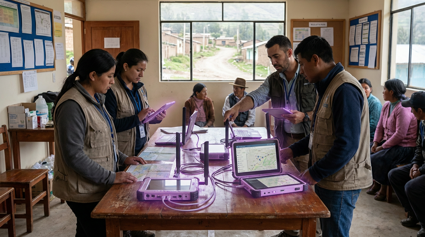
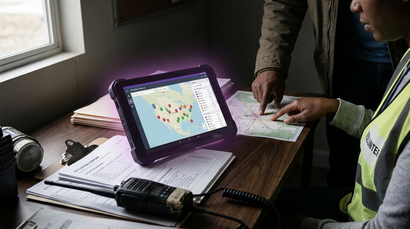
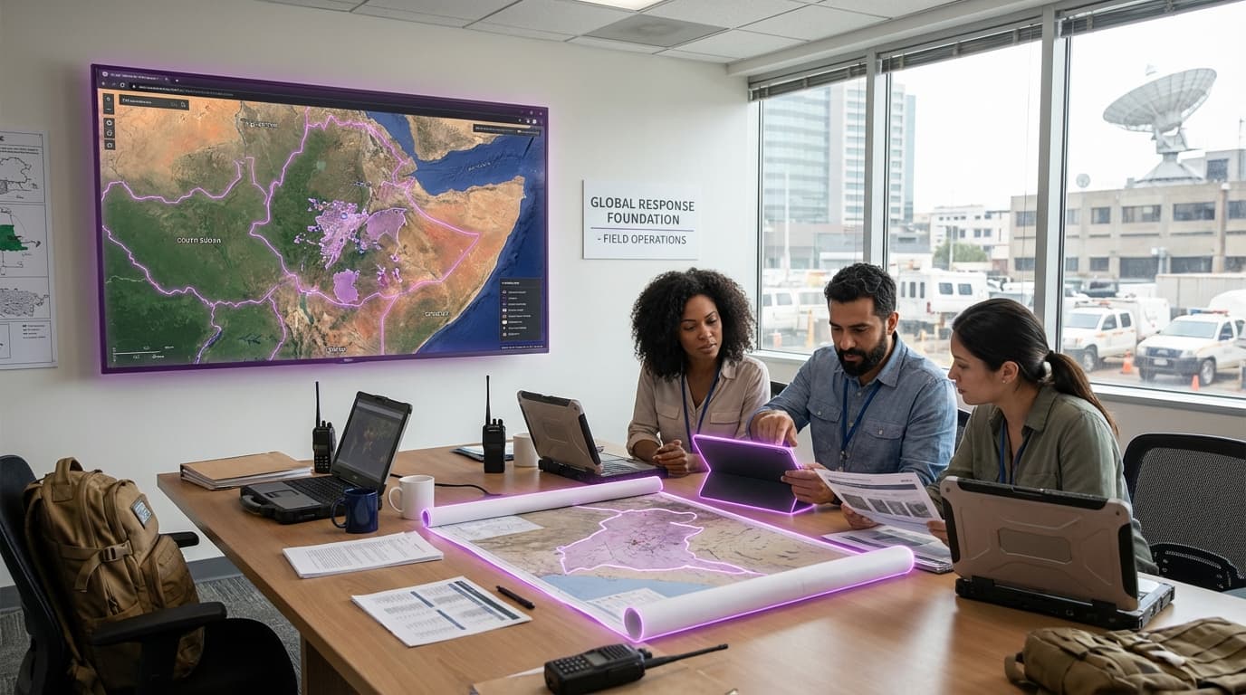
Satellite infrastructure for humanitarian monitoring represents a fundamental shift in how aid organizations, governments, and international bodies observe and respond to crises. At its core, this technology leverages constellations of Earth observation satellites equipped with various sensors—optical cameras, synthetic aperture radar (SAR), multispectral and hyperspectral imaging systems, and thermal sensors—to capture detailed information about conditions on the ground from orbit. These satellites operate across different orbital altitudes and revisit frequencies, with some providing daily or even hourly coverage of specific regions. The data they collect is processed through sophisticated algorithms that can detect changes in land use, identify temporary settlements, assess infrastructure damage, monitor agricultural conditions, and track environmental changes. Machine learning models increasingly automate the analysis of this imagery, enabling rapid identification of patterns that might indicate humanitarian needs—such as the sudden appearance of refugee camps, destruction of buildings, or changes in vegetation that signal food insecurity. This remote sensing capability transforms vast amounts of raw satellite data into actionable intelligence that can guide resource allocation and intervention strategies.
The humanitarian sector faces persistent challenges in obtaining timely, accurate information from crisis zones, particularly in conflict areas, regions with limited infrastructure, or during natural disasters when ground access becomes dangerous or impossible. Traditional monitoring methods rely heavily on field staff presence, which can be constrained by security concerns, logistical barriers, and resource limitations. Satellite infrastructure addresses these gaps by providing a persistent, wide-area surveillance capability that operates independently of ground conditions. This technology enables organizations to verify the scale of displacement events, assess the extent of damage from earthquakes or floods, monitor the delivery and distribution of aid supplies, and track long-term recovery progress without requiring continuous physical presence. The objectivity of satellite data also provides a neutral evidence base for advocacy, accountability, and coordination among multiple stakeholders who may have competing interests or conflicting reports from the field. Furthermore, satellite monitoring can reveal patterns and trends that are difficult to perceive from ground level, such as gradual environmental degradation, regional migration patterns, or the cumulative impact of interventions across large geographic areas.
Several humanitarian organizations and technology initiatives have operationalized satellite monitoring capabilities in recent years, with platforms like the United Nations Satellite Centre (UNOSAT) and partnerships between aid agencies and commercial satellite providers becoming increasingly common. These systems have been deployed to monitor refugee movements across borders, assess damage in conflict zones where ground access is restricted, and verify the implementation of development programs in remote regions. The technology has proven particularly valuable during rapid-onset disasters, enabling damage assessment within hours of an event and supporting coordinated response efforts. However, the proliferation of satellite monitoring also introduces complex governance questions about data ownership, access rights, and the appropriate balance between remote oversight and community-led assessment. Privacy concerns emerge when high-resolution imagery can identify individual structures or movement patterns, potentially exposing vulnerable populations to additional risks if data falls into the wrong hands. The reliance on satellite infrastructure also creates dependencies on technical expertise and capital-intensive systems that may concentrate power among well-resourced organizations while marginalizing local knowledge and ground-truth perspectives. As satellite technology becomes more sophisticated and accessible—with smaller, cheaper satellites and cloud-based analysis platforms lowering barriers to entry—the humanitarian sector must navigate tensions between the efficiency gains of remote monitoring and the irreplaceable value of direct community engagement, ensuring that technological capabilities enhance rather than replace human connection and local agency in humanitarian response.
Related Organizations

The United Nations Satellite Centre, part of UNITAR.

A flood tracking platform using satellites and AI.

An academic and research center at Harvard University.

International team dedicated to humanitarian action and community development through open mapping.

A leading provider of global daily earth data, developing the Tanager hyperspectral satellite constellation.
A specialized unit within Amnesty International dedicated to investigating cyber-attacks against civil society.

Provides a free, open platform for accessing satellite data across the African continent to track water, land, and climate changes.

International non-governmental organization that conducts research and advocacy on human rights.

Provides high-resolution Earth imagery and geospatial analytics.

Leads the EAGLE-1 mission and the SAGA program to build a European quantum communication infrastructure in space.