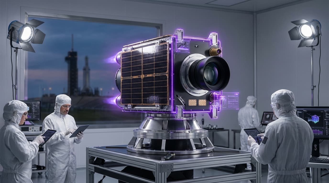
Ultra-Low-Orbit Platforms
Ultra-low-orbit platforms are satellites designed to operate in Very Low Earth Orbit (VLEO), typically between 150-300 km altitude, close to the Kármán line that defines the boundary of space. These platforms use drag compensation systems (like electric propulsion or aerodynamic surfaces) to maintain orbit despite atmospheric drag, enabling operations much closer to Earth than traditional satellites. This proximity provides superior resolution for imaging and unique capabilities for atmospheric science, bridging the gap between aerial and orbital observation.
This innovation addresses the trade-off between resolution and coverage in Earth observation, where traditional satellites provide wide coverage but limited resolution, while aircraft provide high resolution but limited coverage. By operating in VLEO, these platforms can achieve much higher resolution than traditional satellites while maintaining orbital coverage capabilities. The technology enables new applications requiring high-resolution imaging and provides unique perspectives for atmospheric and Earth science.
The technology is particularly valuable for applications requiring high-resolution imaging, such as detailed mapping, infrastructure monitoring, and scientific research. As drag compensation technology improves and becomes more efficient, VLEO operations could become more practical and widespread. However, the technology faces challenges including higher atmospheric drag requiring more propulsion, shorter orbital lifetimes, and the need for more frequent replacement. The technology represents an interesting approach to improving Earth observation capabilities, but its viability depends on advances in propulsion and drag management systems.
Related Organizations

Developing satellites to operate in VLEO to achieve 10cm optical resolution.
EOI Space
United States · Startup
Developing the 'Stingray' satellite platform designed specifically for VLEO operations.

Leading long-term research into SBSP, with plans to demonstrate power transmission from orbit by 2025.

Operates the BioFabrication Facility (BFF) on the ISS for printing human tissue.
Leads the EAGLE-1 mission and the SAGA program to build a European quantum communication infrastructure in space.

Leads the DISCOVERER project focusing on VLEO aerodynamics and materials.

Manufactures small satellite buses, including configurations adapted for high-drag VLEO missions.
Supporting Evidence
Research this in Signals
Signals turns a topic into a sourced research record you can inspect and rerun. Your first scan is free, and this one starts with Ultra-Low-Orbit Platforms already loaded, so edit it or scan as is.