Digital Land Records Modernization (DILRMP)
Geography: Asia Pacific · South Asia · India
India's land records are a centuries-old mess. Colonial-era paper records, overlapping survey systems across states, disputed boundaries passed down through generations, and a court system clogged with land disputes (estimated 66% of all civil cases in India relate to land) — these are the legacies the Digital India Land Records Modernisation Programme (DILRMP) is tackling. By 2025, 98.5% of rural land records have been digitized, and geo-referencing of cadastral maps has been completed for 326,776 of India's 657,397 villages (49.1%).
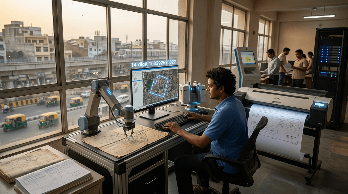
The program's most innovative element is the Unique Land Parcel Identification Number (ULPIN), nicknamed 'Bhu-Aadhaar' (Land Aadhaar). Every land parcel in India is being assigned a 14-digit alphanumeric code based on geo-coordinates of its vertices, compliant with international standards. This is India applying the Aadhaar playbook to land: just as every person gets a unique ID, every plot of land gets one too. The system integrates with Aadhaar-based owner identity, computerized revenue courts, and digital land registration — creating a single source of truth for land ownership.
The economic implications are staggering. McKinsey has estimated that India's unclear land titles lock up trillions of dollars in 'dead capital' — land that can't be used as collateral, traded efficiently, or developed without legal risk. Digitized, geo-referenced land records with unique IDs could unlock this capital, reduce land disputes (saving enormous judicial resources), enable transparent land markets, and improve urban planning. For India's 150 million smallholder farmers, having a verified, digital land record means they can finally use their primary asset — their land — as collateral for formal credit.