Maritime Domain Awareness
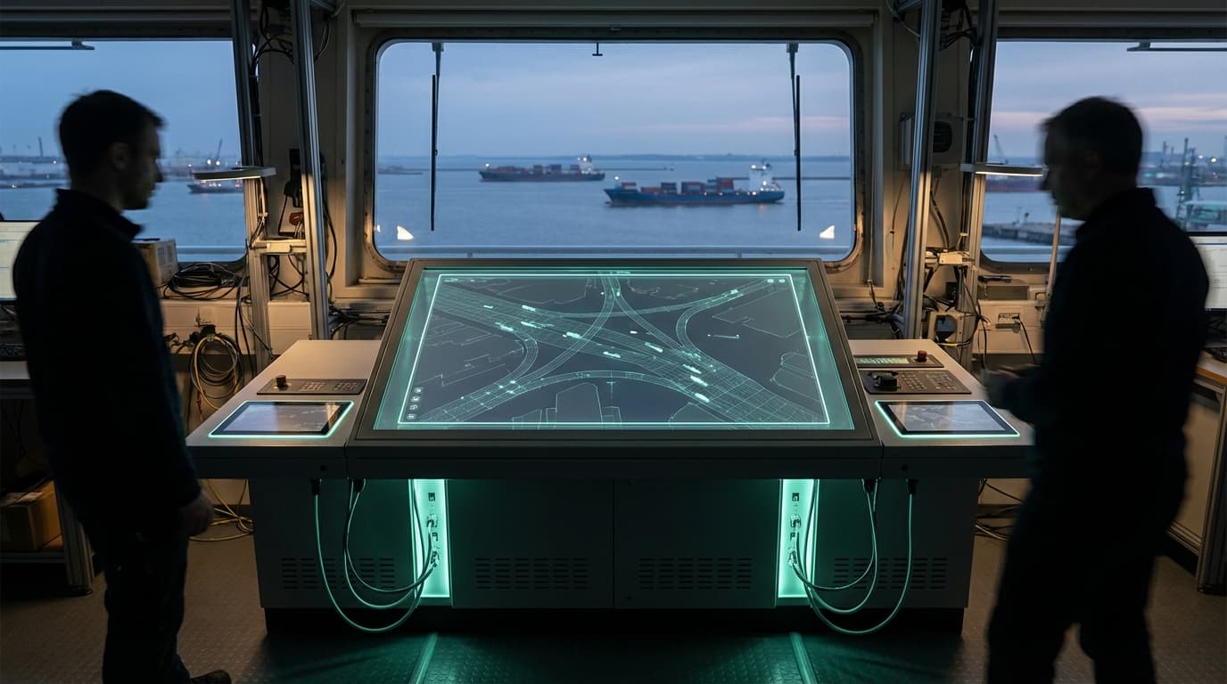
Maritime Domain Awareness represents a comprehensive approach to monitoring and understanding activities across oceanic territories through the integration of multiple surveillance technologies and analytical frameworks. At its technical core, this capability combines space-based observation platforms with maritime sensors, automatic identification systems (AIS), radar networks, and increasingly sophisticated artificial intelligence algorithms. Satellite reconnaissance provides wide-area coverage through synthetic aperture radar and electro-optical imaging, capable of detecting vessel movements regardless of weather conditions or time of day. Undersea acoustic sensor arrays monitor submarine activity and shipping traffic through passive listening networks, while surface-based radar installations track movements in coastal zones and critical chokepoints. AIS transponders, required on commercial vessels above certain tonnages, broadcast position and identity data that can be correlated with other sensor inputs. Machine learning systems process these disparate data streams to identify patterns, anomalies, and potential threats, creating a unified operational picture of maritime activity across vast ocean expanses.
The strategic imperative for enhanced maritime awareness stems from the growing complexity of challenges facing coastal nations and international maritime security. Illegal, unreported, and unregulated fishing depletes marine resources and undermines sustainable fisheries management, while smuggling operations transport narcotics, weapons, and human trafficking victims across poorly monitored sea routes. Territorial disputes in contested waters require persistent surveillance to document incursions and maintain sovereignty claims. Traditional methods of maritime patrol—relying primarily on surface vessels and aircraft—prove prohibitively expensive and logistically challenging when applied to the scale of modern exclusive economic zones, which can extend 200 nautical miles from coastlines. The technology addresses these limitations by enabling continuous monitoring without the need for constant physical presence, allowing enforcement agencies to deploy assets more efficiently in response to detected threats rather than conducting broad patrol sweeps.
Several nations have implemented integrated maritime domain awareness systems to protect their strategic interests and economic resources. Research suggests that combining multiple sensor types significantly improves detection rates compared to reliance on any single monitoring method, as vessels attempting to evade detection may disable AIS transponders or operate in ways designed to avoid satellite observation windows. Industry analysts note growing adoption of these integrated approaches among nations with extensive coastlines or significant maritime economic interests, particularly in regions where illegal fishing and territorial disputes create ongoing security concerns. The technology increasingly incorporates predictive analytics that can forecast likely locations of illegal activity based on historical patterns, environmental conditions, and economic factors. As geopolitical competition extends into maritime domains and ocean resources face mounting pressure, comprehensive awareness capabilities are becoming essential components of national security infrastructure, enabling more effective enforcement of maritime law while supporting broader strategic objectives in contested waters and critical shipping corridors.
Related Organizations

Predictive maritime intelligence platform using AI to analyze behavioral patterns of ships.

Uses satellite technology and machine learning to visualize global fishing activity.

Provides commercial Synthetic Aperture Radar (SAR) satellite data.

Uses a constellation of nanosatellites to collect radio occultation data, fed into ML models for forecasting.

Specializes in space-based RF detection for maritime surveillance.

Provider of on-demand, high-resolution SAR Earth observation data.

Data and analytics firm for commodities and maritime markets; acquired MarineTraffic and FleetMon.

A leading provider of global daily earth data, developing the Tanager hyperspectral satellite constellation.


Defense company producing the Barracuda advanced camouflage systems.

A maritime monitoring platform from the Allen Institute for AI (AI2).

Prime contractor for the TeQuantS project and a key partner in ESA's quantum satellite initiatives.