MBZ-SAT Indigenous Earth Imaging Satellite
Geography: Emea · Middle East · Gulf States
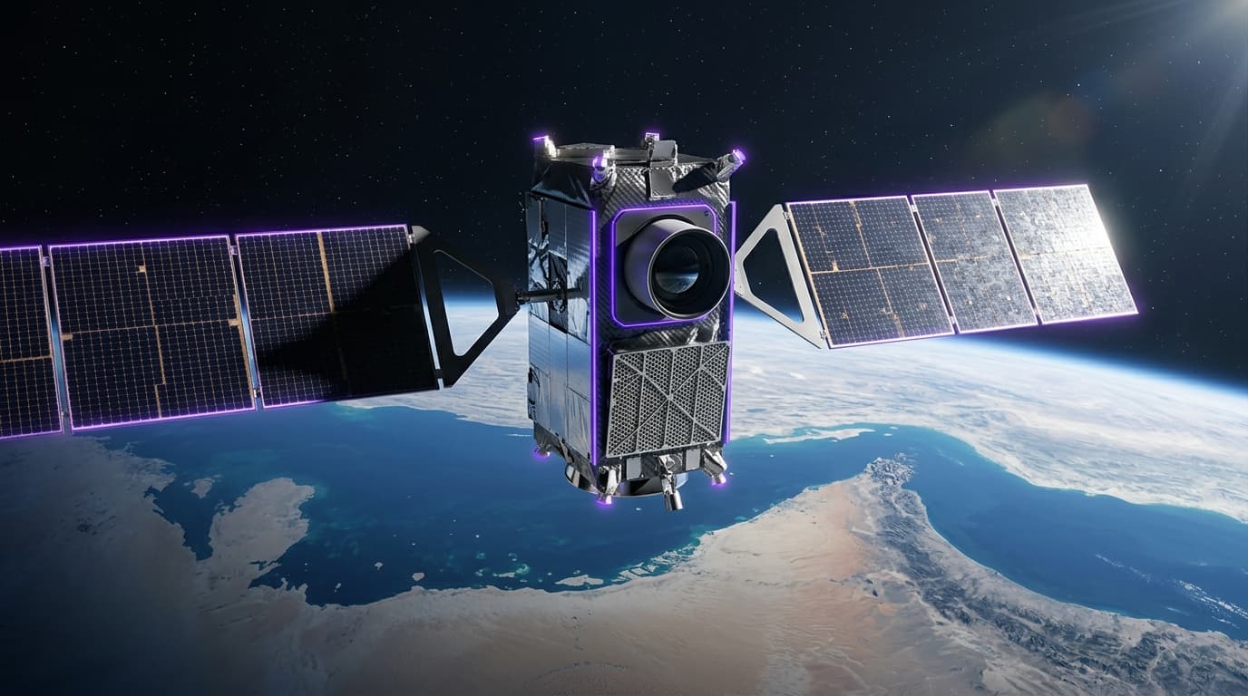
MBZ-SAT, named after UAE President Sheikh Mohamed bin Zayed, was launched on January 14, 2025, and represents the region's most advanced Earth observation satellite. Developed entirely by Emirati engineers at the Mohammed bin Rashid Space Centre (MBRSC), the satellite achieves a critical milestone: 90% of its mechanical structures and a significant portion of electronic components were manufactured by UAE private sector companies. This marks the transition from partnership-based satellite development (like the Hope Probe with University of Colorado) to genuinely indigenous production.
The satellite provides high-resolution imagery for environmental monitoring, infrastructure management, navigation, and disaster relief — practical applications that serve both UAE national interests and potential commercial customers. MBZ-SAT's companion, Etihad-SAT (using radar imaging technology), expands the UAE's earth observation capabilities to all-weather, day-night imaging. Together, they give the UAE independent intelligence capabilities that previously required purchasing imagery from Western or Chinese satellite operators.
The localization of satellite manufacturing creates industrial capabilities that extend far beyond space. The precision engineering, clean room manufacturing, composite materials, and systems integration required to build satellites domestically create a skilled workforce and supplier base applicable to aviation, defense, medical devices, and advanced electronics. The UAE's 25-year journey from purchasing its first satellite (Thuraya-1 in 2000) to manufacturing MBZ-SAT domestically illustrates how strategic patience and knowledge transfer can build genuine technological sovereignty.
Research this in Signals
Signals turns a topic into a sourced research record you can inspect and rerun. Your first scan is free, and this one starts with MBZ-SAT Indigenous Earth Imaging Satellite already loaded, so edit it or scan as is.