Satellite-Enabled Subsurface Mineral Exploration
Geography: Asia Pacific · Oceania · Australia New Zealand
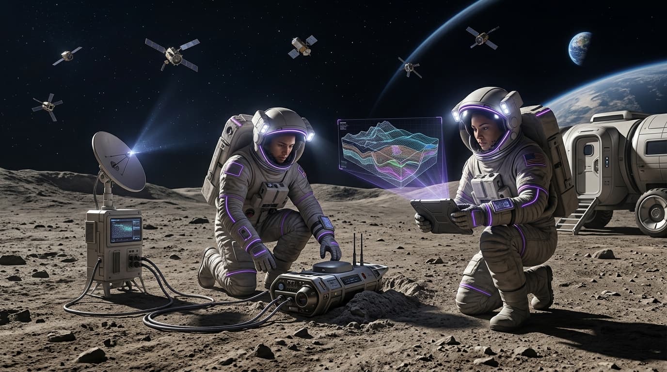
Adelaide-based Fleet Space Technologies has built the ExoSphere platform, which integrates a constellation of nano-satellites with ground-based seismic sensors and AI-powered analytics to create 3D subsurface maps for mineral exploration. The company raised US$100M in December 2024 to scale operations, opened a new satellite and sensor manufacturing facility in October 2025, and plans to deploy five satellites on SpaceX launches. ExoSphere compresses what traditionally takes months of geological survey work into weeks.
Traditional mineral exploration is slow, expensive, and environmentally invasive — involving drilling hundreds of boreholes across vast areas. Fleet Space's approach uses ambient seismic noise tomography, where sensor arrays listen to natural ground vibrations and use satellite connectivity to transmit data for AI analysis. This non-invasive method can identify prospective deposits before a single drill hole is sunk, dramatically reducing exploration costs and environmental impact.
For a resource-dependent nation facing declining ore grades and deeper deposits, this technology is existential. Fleet Space's platform is already used by major miners across 20+ countries, generating export revenue while helping secure the critical mineral discoveries that Australia's economic future depends on. The dual-use potential — using the same sensors for defense ground surveillance — adds a sovereignty dimension that aligns with Five Eyes intelligence-sharing objectives.
Research this in Signals
Signals turns a topic into a sourced research record you can inspect and rerun. Your first scan is free, and this one starts with Satellite-Enabled Subsurface Mineral Exploration already loaded, so edit it or scan as is.