Envisioning is an emerging technology research institute and advisory.

LinkedInInstagramGitHub

2011 — 2026

research
  • Observatory
  • Newsletter
  • Methodology
  • Origins
  • Vocab
  • RSS Feeds
services
  • Signals Session
  • Bespoke Projects
  • Build Sessions
  • Pricing
  • Use Cases
  • Signals
  • Signal Scan↗free
impact
  • ANBIMAFuture of Brazilian Capital Markets
  • IEEECharting the Energy Transition
  • Horizon 2045Future of Human and Planetary Security
  • WKOTechnology Scanning for Austria
solutions
  • Innovation
  • Strategy
  • Consultants
  • Foresight
  • Associations
  • Governments
  • L&D
resources
  • Partners
  • Coding for Non-Coders
  • How We Work
  • Data Visualization
  • Multi-Model Method
  • FAQ
  • Security & Privacy
  • Public Sector
about
  • Manifesto
  • Community
  • Events
  • Support
  • Contact
ResearchServicesSignalsAbout
  1. Home
  2. Research
  3. Altitude
  4. Atmospheric Satellite

Atmospheric Satellite

High-altitude UAVs and balloons providing long-duration communications and Earth observation
Back to AltitudeView interactive version

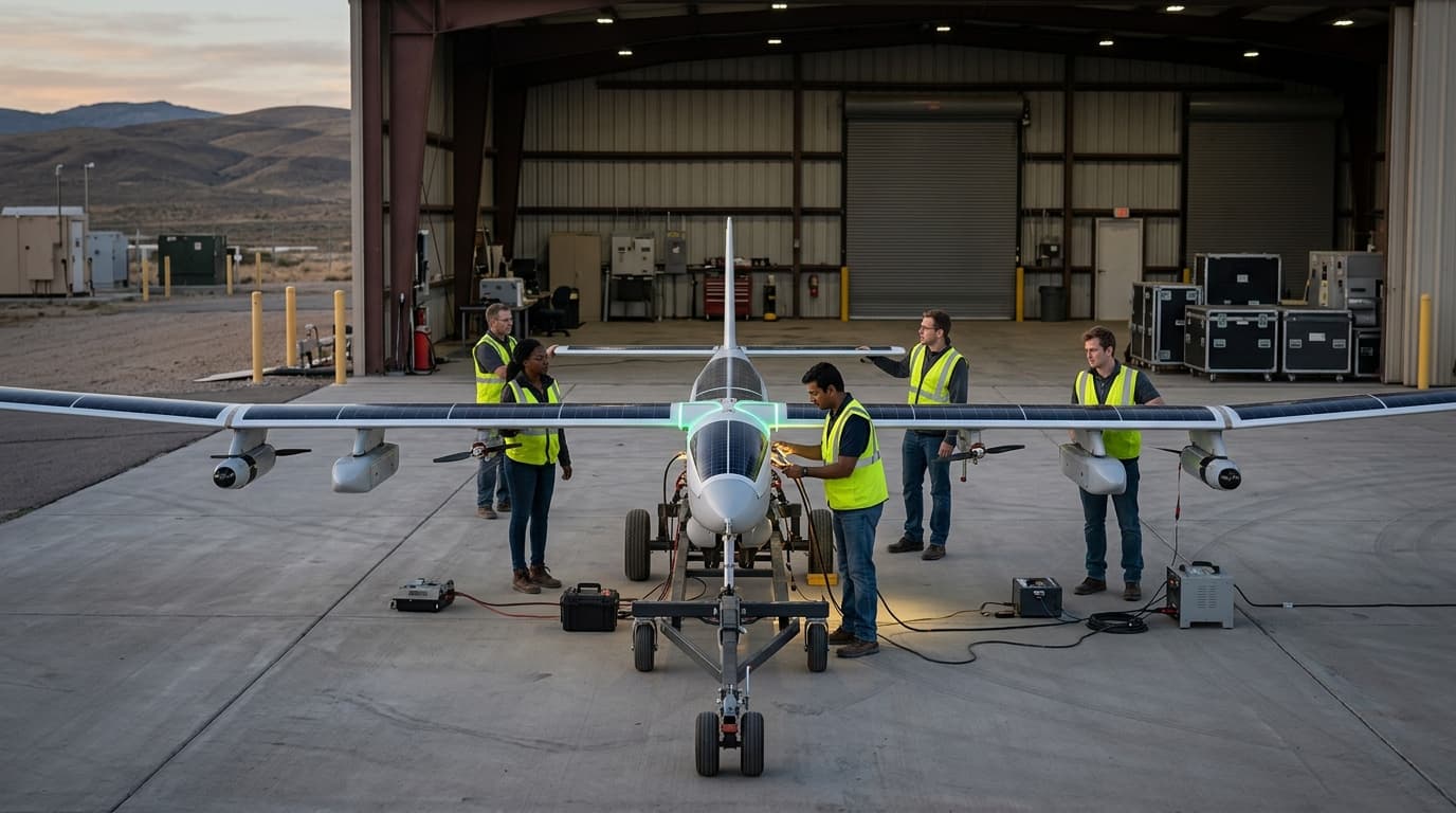
Atmospheric satellites are UAVs or balloons operating at high altitude for extended periods (weeks or months) for communications relay, Earth observation, or sensing. Experimentation; Loon discontinued; others in development. Applications: more widespread communications, connectivity in remote areas.

TRL
5/9Validated
Impact
5/5
Investment
4/5
Category
Hardware

Research this in Signals

Scan Atmospheric Satellite for yourself.

Signals turns a topic into a sourced research record you can inspect and rerun. Your first scan is free, and this one starts with Atmospheric Satellite already loaded, so edit it or scan as is.