Chile National Seismic Early Warning Network
Geography: Americas · South America · Latin America
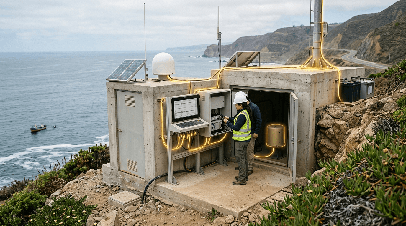
Chile sits atop one of Earth's most seismically active zones — the Nazca-South American plate boundary — producing devastating earthquakes with clockwork regularity, including the largest ever recorded (Mw 9.5, Valdivia 1960) and the catastrophic 2010 Maule event (Mw 8.8). This existential threat has driven the development of one of the world's most sophisticated seismic monitoring and early warning systems. The Centro Sismológico Nacional (CSN) operates a network of over 700 seismic stations across the country's 4,300 km length, complemented by the SHOA (Servicio Hidrográfico y Oceanográfico de la Armada) maritime monitoring system for tsunami detection using DART buoys and coastal tide gauges.
The 2010 earthquake — which killed over 500 people partly due to failures in the tsunami warning chain — served as a painful catalyst for system modernization. Chile invested heavily in automated detection algorithms that can characterize earthquake magnitude and generate tsunami warnings within 3 minutes, compared to the 17-minute delay that proved fatal in 2010. The system integrates GNSS geodetic stations that measure real-time crustal deformation, accelerometer networks for strong-motion recording, and fiber-optic strain sensors along the coastline. Machine learning models trained on Chile's exceptionally rich seismic dataset now assist in rapid magnitude estimation and aftershock probability forecasting.
Chile's seismic infrastructure serves a dual purpose: civil protection and scientific leadership. Chilean seismological research punches far above the country's weight, producing foundational work on subduction zone mechanics, slow-slip events, and earthquake cycle models. The country hosts international research collaborations and serves as a natural laboratory for testing early warning technologies later deployed in Japan, Mexico, and the U.S. Pacific Northwest. As climate change increases the frequency of compound hazards — earthquakes triggering landslides in drought-weakened terrain, or tsunamis interacting with sea-level rise — Chile's integrated monitoring approach becomes an increasingly valuable export model.
Research this in Signals
Signals turns a topic into a sourced research record you can inspect and rerun. Your first scan is free, and this one starts with Chile National Seismic Early Warning Network already loaded, so edit it or scan as is.