Precision Agriculture for Pampas Farming
Geography: Americas · South America · Latin America
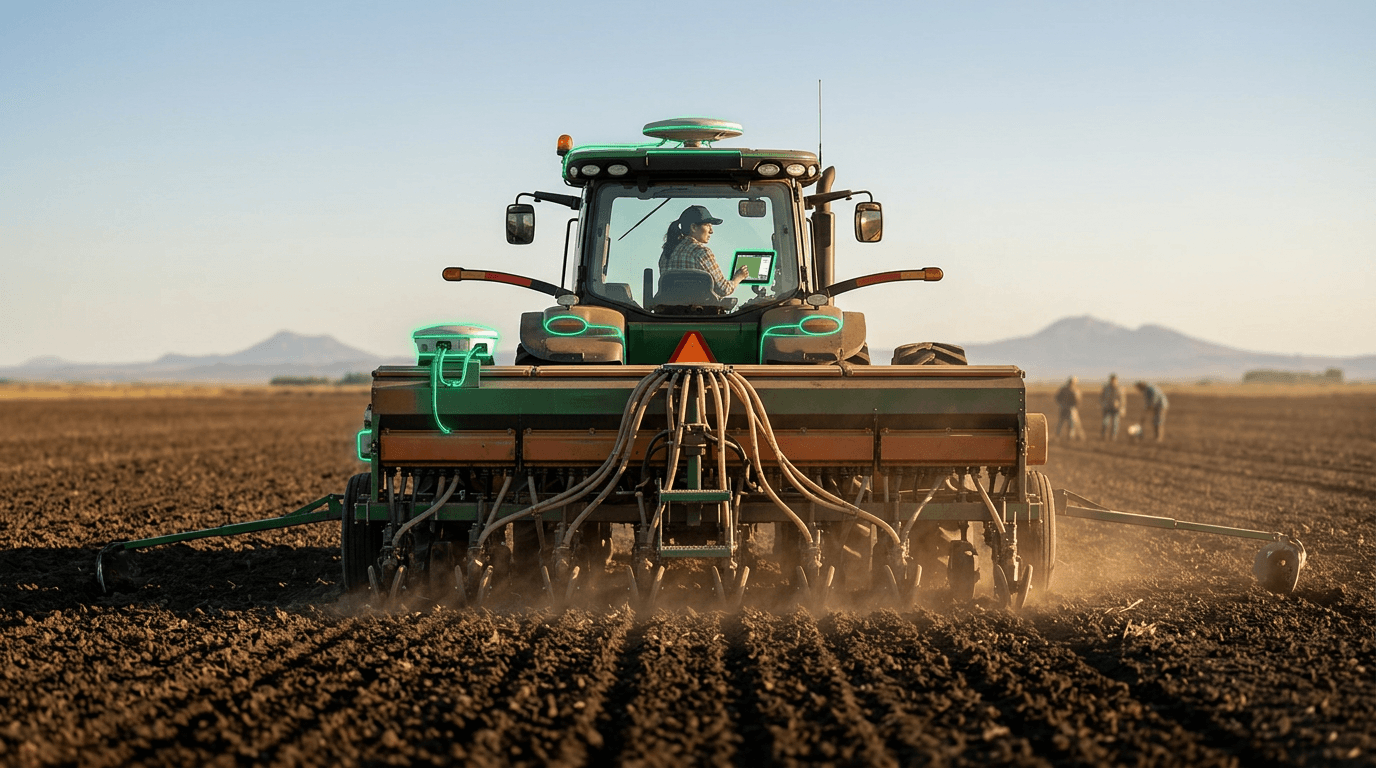
Argentina's Pampas — among the most productive agricultural regions on Earth — have become a large-scale proving ground for precision agriculture technology. Variable-rate seeding systems adjust planting density based on georeferenced soil maps, yield monitors on combine harvesters create field-level productivity maps, and SAOCOM satellite data provides soil moisture assessments that inform irrigation and planting decisions. The technology integration enables site-specific management of fields that can exceed 1,000 hectares.
The technology stack is adapted to Argentine farming's unique characteristics: extremely large field sizes (requiring solutions that scale), no-till farming practices (requiring precision seed placement into stubble), and double-cropping systems (wheat-soybean or wheat-corn) that demand tight timing optimization. Argentine agritech companies develop decision support platforms that integrate satellite imagery, weather forecasts, soil databases, and commodity price signals into actionable recommendations.
Argentina's precision agriculture adoption is driven by competitive necessity — as a major agricultural exporter, Argentine farmers compete directly with US, Brazilian, and Australian producers. Technology adoption isn't optional; it's the path to maintaining competitiveness as input costs rise and climate variability increases. The data generated by millions of hectares of precision-managed farmland also feeds into national crop forecasting models used by INTA (Argentina's agricultural research institute) and commodity markets.
Research this in Signals
Signals turns a topic into a sourced research record you can inspect and rerun. Your first scan is free, and this one starts with Precision Agriculture for Pampas Farming already loaded, so edit it or scan as is.