Agricultural Drone Spraying and Sensing
Geography: Asia Pacific · Oceania · Australia New Zealand
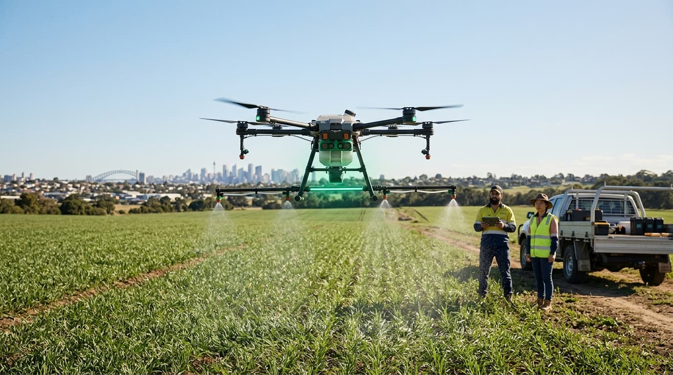
Australian agriculture has rapidly adopted drone technology for precision spraying, multispectral crop sensing, and livestock monitoring. Purpose-built agricultural drones equipped with LiDAR and multispectral cameras map individual tree health in orchards, identify weed patches in broadacre crops, and monitor livestock condition across vast pastoral stations. Precision spot-spraying applies herbicides and pesticides only where needed, reducing chemical use by 70-90% compared to blanket application.
Australia's average farm size — among the largest in the world — makes traditional ground-based scouting impractical. A single pastoral station can exceed 1 million acres. Drones provide the eyes-on-ground (or eyes-in-air) coverage that scale demands, while precision application reduces input costs. Victorian citrus growers reported saving AU$12,000 per season on fertilizer alone through drone-guided targeted application.
The convergence of drone sensing, AI image analysis, and variable-rate application technology is creating a precision agriculture stack that transforms farming from uniform treatment of entire fields to individualized treatment of specific zones, trees, or even plants. Australia's regulatory framework for agricultural drone operations is among the most permissive in the developed world, reflecting the practical necessity of aerial technology in managing the world's largest farms.
Research this in Signals
Signals turns a topic into a sourced research record you can inspect and rerun. Your first scan is free, and this one starts with Agricultural Drone Spraying and Sensing already loaded, so edit it or scan as is.