Satellite Monitoring for Commodity Crop Traceability
Geography: Emea · Africa · Africa
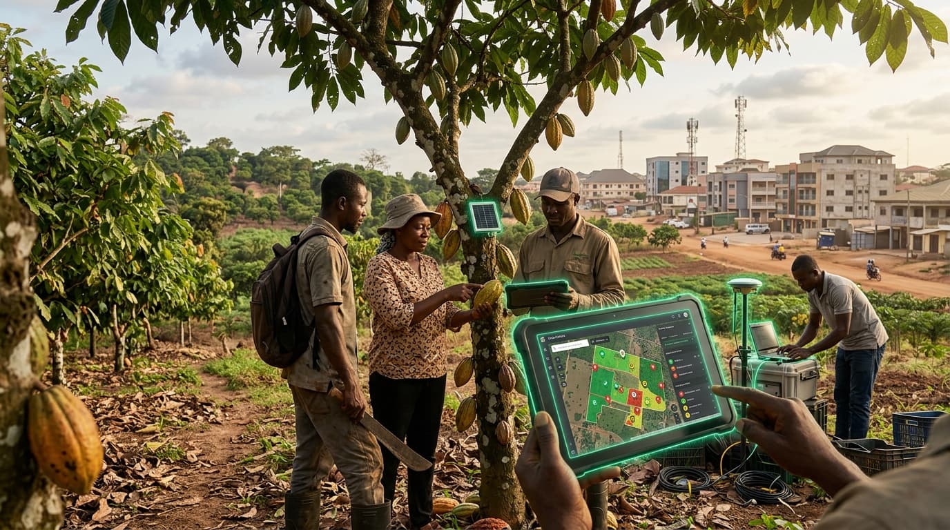
Ghana, the world's second-largest cocoa producer, is deploying satellite monitoring technology to track its 800,000+ cocoa farms. The SAT4Farming program, in partnership with COCOBOD (Ghana Cocoa Board), uses satellite imagery integrated with AI analysis to create Farm Development Plans, monitor environmental conditions, detect illegal deforestation, and verify compliance with EU deforestation regulations that threaten to block cocoa imports from non-compliant sources.
The technology addresses a survival-level threat: the EU Deforestation Regulation (EUDR) requires full traceability of cocoa from farm to chocolate bar. Without satellite-verified proof that cocoa wasn't grown on recently deforested land, Ghanaian farmers could lose access to their largest export market. The monitoring system combines Sentinel-2 satellite imagery, GPS-mapped farm boundaries, and machine learning models trained on West African agricultural landscapes.
Beyond regulatory compliance, the satellite data enables precision advisory services for smallholder farmers — recommending optimal planting times, fertilizer application, and pest management based on actual field conditions rather than generalized guidance. This represents the integration of space technology with smallholder agriculture, using billion-dollar satellite infrastructure to serve farmers earning $2/day.
Research this in Signals
Signals turns a topic into a sourced research record you can inspect and rerun. Your first scan is free, and this one starts with Satellite Monitoring for Commodity Crop Traceability already loaded, so edit it or scan as is.