National Digital Agriculture Information Systems
Geography: Emea · Africa · Africa
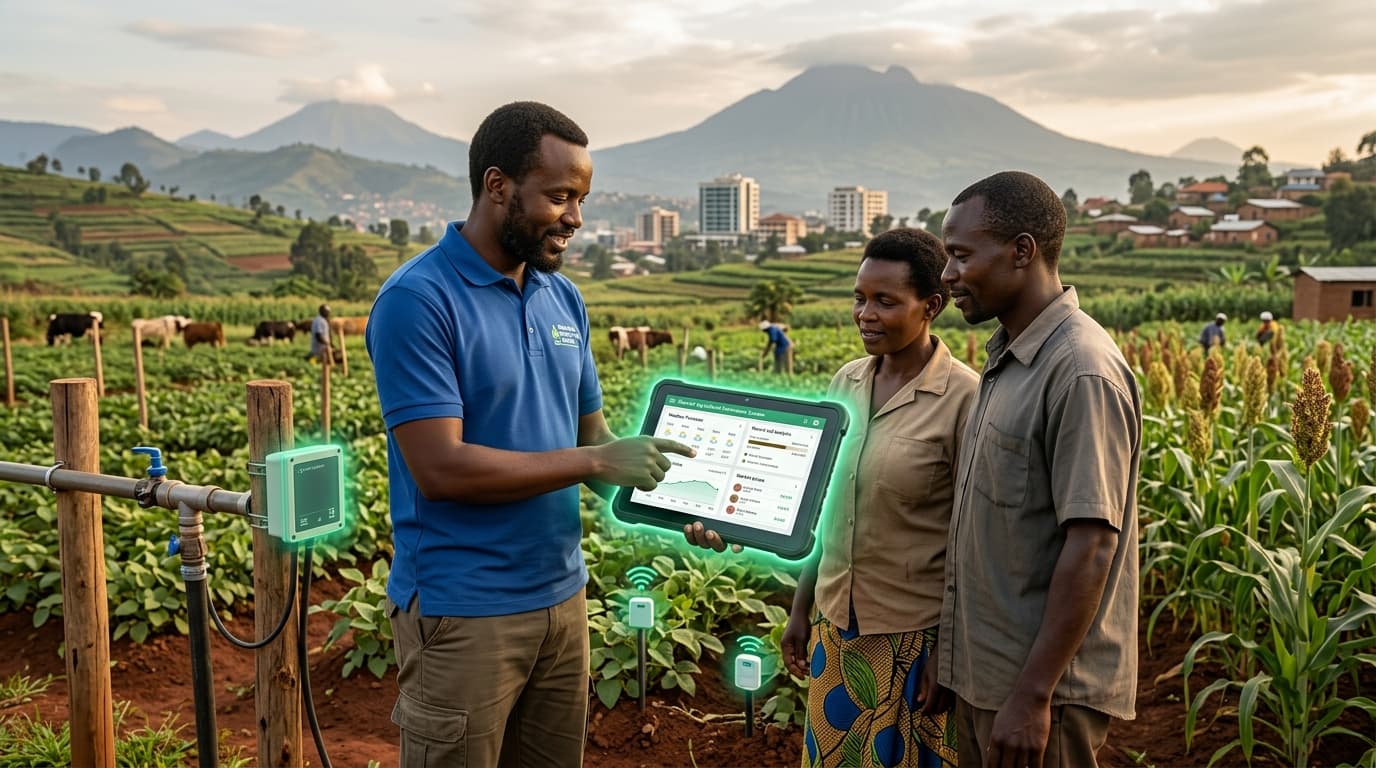
Rwanda has built one of Africa's most integrated national digital agriculture systems, connecting weather monitoring stations, soil testing laboratories, crop market information, and agricultural extension services through a unified digital platform. The Rwanda Agriculture and Animal Resources Development Board (RAB) coordinates data collection, analysis, and dissemination to over 2 million smallholder farmers via USSD, SMS, and mobile apps.
The system provides farmers with localized weather forecasts, soil-specific fertilizer recommendations, real-time market prices from district markets, and pest/disease alerts. Agricultural extension workers use tablets to record farm visits, input field data, and access best-practice protocols. The platform's integration allows evidence-based policy decisions — the government can see crop production data in real-time, identify emerging food security threats, and target interventions precisely.
Rwanda's approach reflects its broader digital governance philosophy: centralized data, standardized platforms, and universal access through multiple channels. The country's small size (26,338 km²) makes comprehensive data collection feasible. For larger African nations, Rwanda's system provides a template that could be adapted at provincial or county level. The integration of multiple data streams into a single agricultural intelligence platform is the technology contribution — solving the fragmentation that plagues agricultural services across the continent.
Research this in Signals
Signals turns a topic into a sourced research record you can inspect and rerun. Your first scan is free, and this one starts with National Digital Agriculture Information Systems already loaded, so edit it or scan as is.