GIS-Based Precision Viticulture and Terroir Mapping
Geography: Emea · Africa · Africa
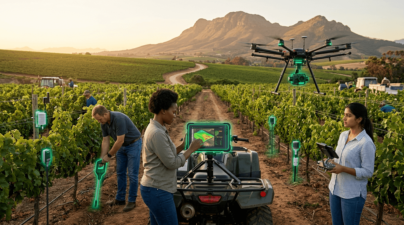
South Africa's wine industry — the world's 8th largest producer — has developed precision viticulture technology at Stellenbosch University that combines GIS-based natural terroir unit (NTU) mapping, drone-mounted multispectral cameras, soil moisture sensors, and AI-driven yield prediction. The research program has systematically mapped the Stellenbosch Wine of Origin District into natural terroir units based on geology, soil type, aspect, and microclimate — enabling vine-by-vine management of 100,000+ hectares of vineyards across the Western Cape.
The technology addresses a unique challenge: South African wine regions span a remarkable diversity of terroirs within small areas — Mediterranean climate zones, mountain slopes, coastal plains, and river valleys create microclimatic variation that demands precise management. Stellenbosch researchers developed AI models that predict grape phenology (ripening timing) and yield based on satellite imagery, weather data, and soil characterization — allowing harvest timing and irrigation decisions at block-level precision. The Department of Viticulture and Oenology runs one of Africa's most sophisticated agricultural technology research programs.
The strategic context is global wine market competitiveness. South African wines compete directly with French, Australian, and Chilean producers who invest heavily in precision viticulture. The Stellenbosch research ecosystem — combining centuries of winemaking tradition with cutting-edge agricultural technology — is unique on the African continent and serves as a model for precision agriculture in other high-value crops. The terroir mapping methodology is applicable to coffee, tea, and other terroir-sensitive crops across Africa.
Research this in Signals
Signals turns a topic into a sourced research record you can inspect and rerun. Your first scan is free, and this one starts with GIS-Based Precision Viticulture and Terroir Mapping already loaded, so edit it or scan as is.