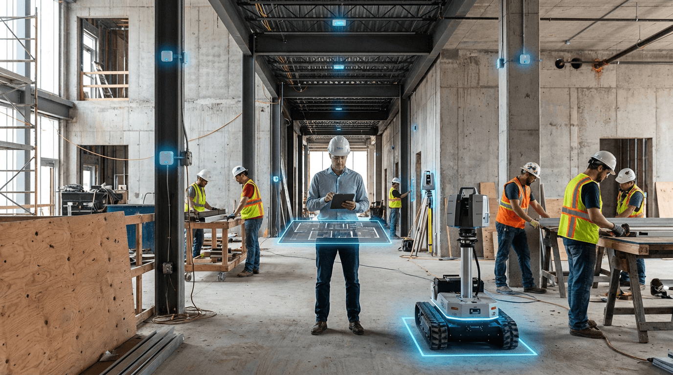
Indoor Positioning & Wayfinding
Indoor positioning and wayfinding technologies address a fundamental challenge in modern built environments: the inability of GPS and satellite-based systems to function reliably inside buildings. These solutions employ a combination of wireless technologies—including Bluetooth Low Energy (BLE) beacons, ultra-wideband (UWB) radio, Wi-Fi fingerprinting, and increasingly, visual positioning systems—to triangulate the location of people and assets with sub-meter accuracy. The technical approach typically involves deploying a network of fixed reference points throughout a building that communicate with mobile devices or asset tags. BLE beacons broadcast unique identifiers that smartphones can detect and measure signal strength from, while UWB systems use time-of-flight measurements between transmitters and receivers to achieve centimeter-level precision. Wi-Fi-based systems leverage existing network infrastructure by analysing signal patterns and radio frequency characteristics to determine position. These diverse technologies can be deployed individually or in hybrid configurations, with the choice depending on accuracy requirements, infrastructure constraints, and specific use cases within the facility.
The built environment sector faces mounting pressure to optimise space utilisation, enhance occupant experience, and improve operational efficiency in increasingly complex facilities. Indoor positioning directly addresses these challenges by providing granular visibility into how buildings are actually used. In commercial real estate, property managers struggle with understanding true occupancy patterns and space efficiency—problems that indoor positioning resolves through continuous analytics on foot traffic, dwell times, and space activation. Hospitals and healthcare facilities face critical challenges in locating mobile equipment, tracking patient flow, and ensuring staff safety during emergencies, all of which these systems can address through real-time asset tracking and personnel location services. Large public venues such as airports, convention centres, and transit hubs grapple with wayfinding complexity that frustrates visitors and creates operational bottlenecks; indoor positioning enables turn-by-turn navigation experiences comparable to outdoor GPS. The technology also unlocks new capabilities in workplace management, allowing organisations to implement hot-desking programmes, optimise cleaning schedules based on actual usage, and provide data-driven insights for space planning decisions.
Commercial deployments of indoor positioning systems have accelerated significantly in recent years, moving beyond pilot programmes to production-scale implementations. Major airports have integrated wayfinding applications that guide passengers to gates, amenities, and ground transportation with real-time updates. Healthcare systems are deploying asset tracking solutions that monitor thousands of pieces of mobile equipment, reducing search time and improving capital utilisation. Corporate campuses are implementing workplace analytics platforms that combine positioning data with occupancy sensors to inform return-to-office strategies and space redesign initiatives. The technology is also proving valuable in emergency preparedness, with systems capable of providing dynamic evacuation routing based on real-time conditions and occupant locations. As buildings become more instrumented and connected, indoor positioning is emerging as a foundational layer of the smart building stack, integrating with building management systems, access control, and environmental controls. The convergence of indoor positioning with digital twin platforms and building information modelling represents a significant trajectory, enabling facilities to maintain living digital representations that reflect real-time conditions and usage patterns, ultimately supporting the transition toward more responsive, efficient, and occupant-centric built environments.
Related Organizations

A platform for creating and maintaining indoor maps for wayfinding in malls, offices, and campuses.

Provides 'Deep Location' technology for high-performance indoor positioning and mapping.

Specializes in BLE (Bluetooth Low Energy) beacons and cloud AI for indoor location services in healthcare.

Specializes in indoor navigation for universities and hospitals, integrating with academic timetables.

Global leader in GIS software (ArcGIS), providing the spatial analytics layer used by thousands of local governments for urban planning and policy.

Develops operating systems for physical locations using beacons and UWB (Ultra Wideband) technology.

Provides high-precision indoor positioning using multisensory technology (magnetic fields, BLE, Wi-Fi).

Produces 'HD Live Map', a cloud-based service providing highly accurate, self-healing 3D maps for AVs.


Provides a location data platform for mobile and web applications, offering highly customizable maps and geospatial analysis tools.