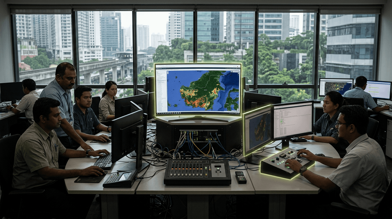
Satellite-Based Peatland Fire Monitoring
Geography: Asia Pacific · Southeast Asia · Southeast Asia
Indonesia — Indonesia's 15 million hectares of tropical peatlands are among the world's largest carbon stores — and when they burn, they produce smoke that blankets Southeast Asia for months. The 2015 peatland fires cost an estimated $16 billion in health, economic, and environmental damage across ASEAN. Indonesia now deploys satellite radar monitoring (JAXA PALSAR-2), AI-based hotspot detection, drone surveillance, and water table management technology to prevent fires.
The Peatland Restoration Agency (BRG) manages hydrological restoration — blocking drainage canals that dry out peat and make it combustible. Satellite-based water table monitoring triggers early warnings when peat moisture drops below fire-risk thresholds. This combines remote sensing, hydrological engineering, and predictive AI into an integrated fire prevention system.
Peatland monitoring technology has both domestic urgency and global export potential. Similar peatland systems in the Congo Basin, Amazon, and Arctic are at risk as climate change dries organic soils. Indonesia's hard-won expertise in tropical peatland management — the technology, institutional frameworks, and community engagement approaches — is directly transferable to other nations facing the same challenge.
Research this in Signals
Signals turns a topic into a sourced research record you can inspect and rerun. Your first scan is free, and this one starts with Satellite-Based Peatland Fire Monitoring already loaded, so edit it or scan as is.