Drone-Based Reforestation and Ecosystem Monitoring
Geography: Emea · Africa · Africa
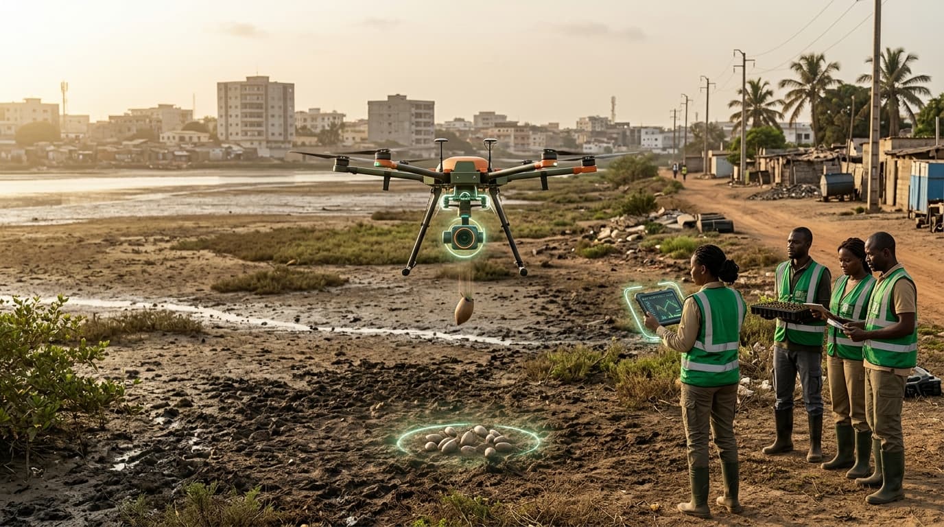
Drone-based reforestation technology is being deployed across Africa for large-scale ecosystem restoration. Drones equipped with seed pods can plant trees 10x faster than manual methods, dispersing species-appropriate seeds across degraded landscapes. In Kenya, the Green Belt Movement and tech startups are using drones for mangrove restoration along the coast, savanna reforestation in the Rift Valley, and monitoring of existing forest cover using multispectral cameras.
Africa is the epicenter of the global reforestation challenge: the continent loses 3.9 million hectares of forest annually. The African Forest Landscape Restoration Initiative (AFR100) committed to restoring 100 million hectares by 2030. Manual planting at this scale is logistically impossible — drone technology offers the only pathway to meeting these targets. Drones also provide monitoring capabilities: regular flyovers can track seedling survival, detect illegal logging, and measure carbon sequestration for carbon credit verification.
The technology is being adapted for African conditions: seed pods designed for dispersal in specific soil types, species selection optimized for local ecosystems, and integration with community-based forest management. The dual use of drones for both planting and monitoring creates a complete reforestation technology stack that can be deployed by conservation organizations, governments, and carbon credit projects across the continent.
Research this in Signals
Signals turns a topic into a sourced research record you can inspect and rerun. Your first scan is free, and this one starts with Drone-Based Reforestation and Ecosystem Monitoring already loaded, so edit it or scan as is.