Agricultural Drones
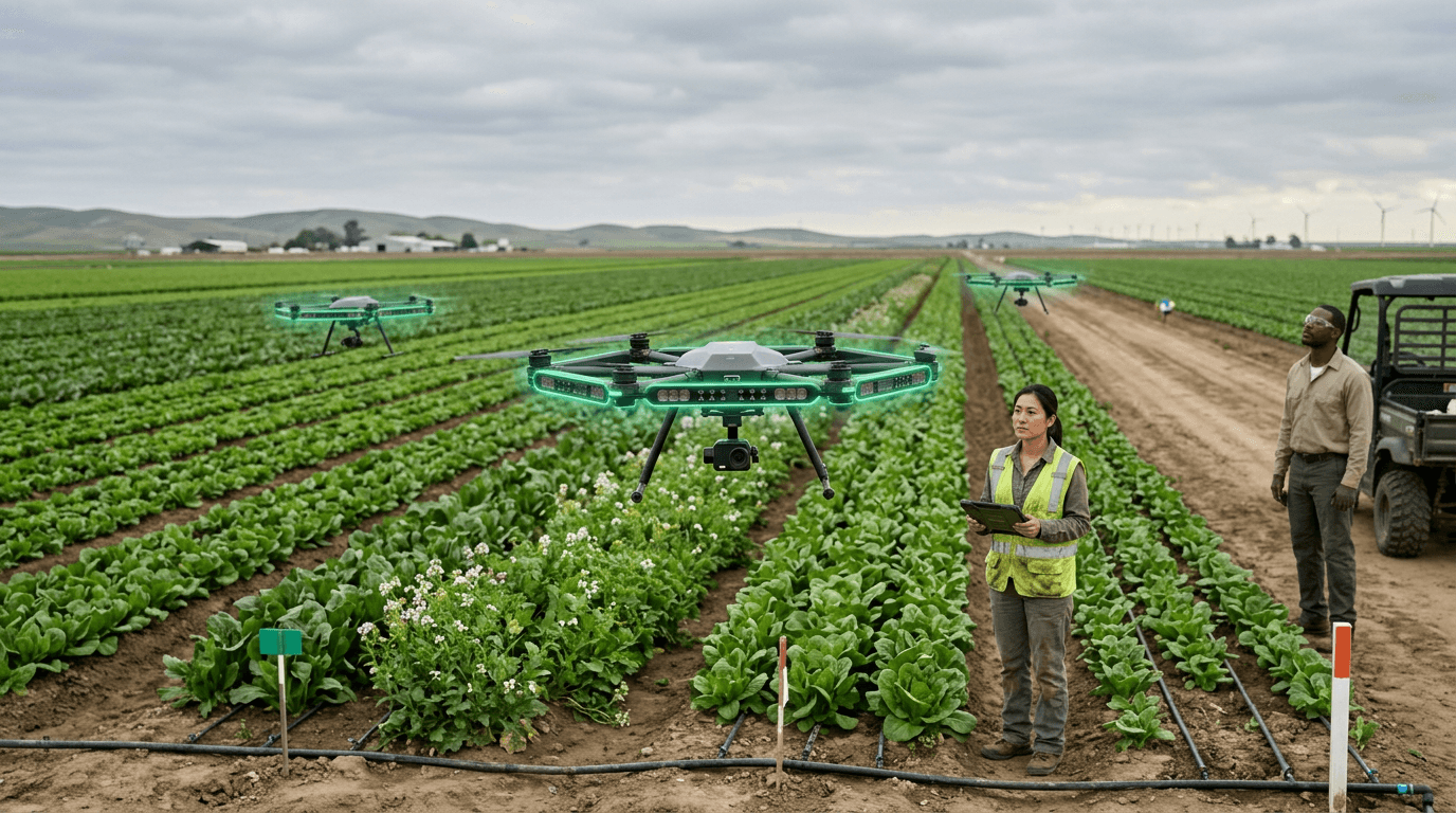
Agricultural drones are unmanned aerial vehicles (UAVs) deployed for farming applications including crop monitoring, precision spraying, seeding, and data collection. Multispectral and hyperspectral sensors mounted on drones capture imagery that reveals plant health, moisture stress, nutrient deficiencies, and pest infestations before they are visible to the naked eye. This enables targeted interventions—such as variable-rate fertilizer application or localized pesticide use—that reduce inputs and environmental impact while improving yields. Spray drones can apply liquid treatments to crops in terrain inaccessible to ground equipment, and seed-dropping drones are used for reforestation and cover crop establishment in difficult terrain. The technology integrates with farm management software to create actionable maps and time-series analyses that support decision-making.
Farmers face the challenge of managing large areas with limited visibility into spatial and temporal variability. Agricultural drones address this by providing high-resolution, timely data at a fraction of the cost of manned aircraft or satellite imagery. Early adoption has been strongest in row crops, orchards, and vineyards where canopy-level insights drive significant value. Regulatory frameworks for commercial drone operations have matured in many jurisdictions, enabling broader deployment. Challenges include battery limitations for large-area coverage, integration with existing machinery and workflows, and the need for analytics that translate raw imagery into clear recommendations. As sensor costs fall and AI-based analysis improves, agricultural drones are becoming standard tools in precision agriculture and sustainable farming practices.
Research this in Signals
Signals turns a topic into a sourced research record you can inspect and rerun. Your first scan is free, and this one starts with Agricultural Drones already loaded, so edit it or scan as is.